Local walks
As well as the variety of walks possible around Magog Down itself, there are lots of opportunities for longer walks in the vicinity. Opposite Magog Down (across the A1307) is Wandlebury Country Park which itself has a well-established network of paths. Beyond Wandlebury, on its north-eastern boundary, you can access the Roman Road (which runs for 10 miles starting just to the north and heading south-east to Horseheath). A leaflet on the Roman Road is available here.
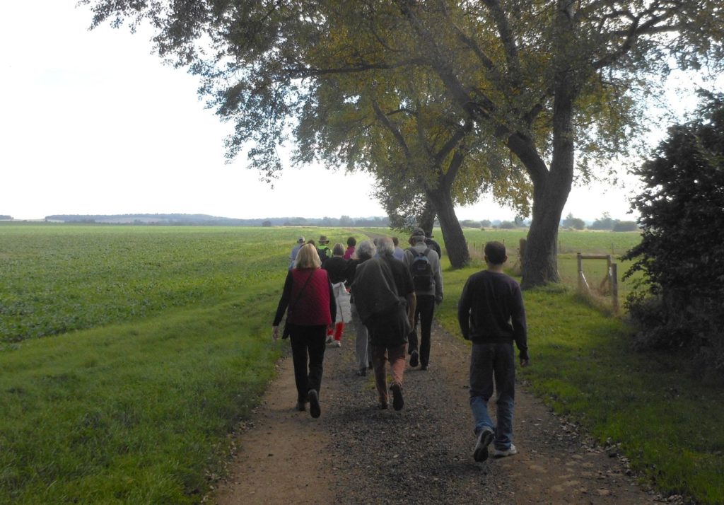
The website of a local walking group, Stapleford Strollers, contains details of two similar walks (4-4½ miles long) which start at the Magog Down car park, go through Wandlebury on to the Roman Road and return via Magog Down. Scroll down the list of walks to find: A walk from Magog Down: Wandlebury and A walk from Wandlebury (there is a Word document and a sketch map for each one).
Leaving the car park in a southerly direction along Haverhill Road, circular routes heading towards Babraham can be followed easily using multi-user tracks and footpaths. Please refer to the local Ordnance Survey maps – Explorer 209 and Landranger 154.
We would like to expand this page. If you know of other local walks based on Magog Down which are available online, please email admin@magogtrust.org.uk or use our Twitter feed @MagogDown and we will try to add them if possible.