
Views from the Down
Magog Down Vista
By Bill French
Introduction
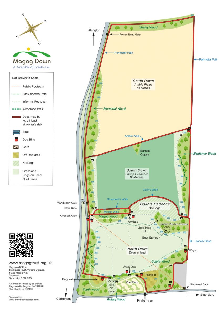
Little Trees Hill at 74m is the highest point of Magog Down, part of an undulating chalk ridge to the south of Cambridge, the Gog Magog Hills. The 66 hectares (164 acres) site was formerly arable agricultural land, which was purchased by a newly created company and charity, The Magog Trust, in 1989, whose aim was (and remains) to create a nature reserve for conservation and make the land available for recreation by local residents. Further information about the creation and development of Magog Down is available elsewhere on the website, especially in the History section.
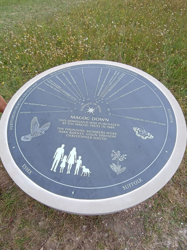
The three founding Members of The Magog Trust, who are commemorated on the Direction Finder described below, were Colin Davison (Vicar of St Andrew’s Church in Stapleford at the time), Christopher South (journalist on Cambridge Evening News) and Joan Barnes (Chairman of the Stapleford Parish Council at that point).
Many of you will be familiar with Magog Down and appreciate its value to the community and to our many visitors. It provides both a source of recreation for all of us and a place where wildlife can prosper. It is an important site of chalk grassland which is home to some special plants and animals.
As visitors to the Down, we can also appreciate the view of the countryside around us. On a clear day there are many places that we can see and identifying them may lead to a better understanding of this landscape, its geology, archaeology and history as well as the present-day activities that make this area so special.

Direction Finder
In June 2026 the Magog Trustees erected a Direction Finder near the top of Little Trees Hill to help identify some of the places that surround us. Details of the unveiling event can be found here.
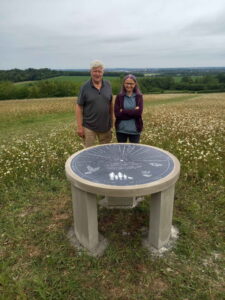
The details of the Direction Finder are engraved on a disc of Welsh slate set on a Portland stone plinth and supporting piers. It was designed Bill French assisted by Pippa Westoby who also carried out the engraving. The Finder shows the direction of the places selected and their distance is marked in miles at the centre of the disc. The neighbouring counties are marked on the rim of the Finder.
We hope that the following notes will help visitors using the Direction Finder.
Ancient and modern side-by-side
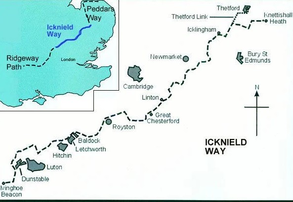
The places that are shown on the Direction Finder are a sample of landmarks and places of interest. Some may not be seen, especially if visibility is poor. Towards the South you can see the Hertfordshire hills and the wide and shallow valley between us which has played a very significant role in the history of East Anglia and Great Britain more generally. Historically, the valley has provided a line of communication and a line of defence at different periods over many hundreds of years. The valley also forms part of the Icknield Way, a pre-Roman trackway running from Norfolk to Wiltshire along the chalklands of Southern England. This ancient route permitted the transport of people, livestock, minerals and materials in both directions. For example, the supply of high-quality flint from Grime’s Graves in Norfolk to the rest of the country was a very important trade.
The valley still reveals evidence of attempts by the post-Roman East Anglian tribes to resist onslaught from the Mercian tribes. A series of defensive ditches across the valley were built at strategic points and at different times. One of these, the so-called Bran Ditch lay between Heydon and Fowlmere. It would have provided a defence of the trackways through the valley, while the heavily wooded hills to the south and the marshy area to the North provided a natural barrier. You can still find the starting point of the ditch in Heydon. More ditches can be found between here and the Norfolk Breckland, namely The Brent ditch near Pampisford, The Fleam Dyke between Fulbourn and Balsham, the Devils Dyke at Newmarket and the lesser-known ditch at Icklingham.
Returning to our Direction Finder and west of Heydon you can see a very conspicuous aerial mast that was erected at the former Barkway RAF station, reputed to be the smallest RAF station in the country! You may also spot a smaller mast to the right.
Royston is marked on the Finder but is not visible from here. The town was an important junction of the Icknield Way and Ermine Street. Royston is famous for having a Royal Palace, a mysterious Cave and the Greenwich meridian line which passes through it. Royston is in Hertfordshire but until 1896 the town was partly in Hertfordshire and partly in Cambridgeshire.
With binoculars It is just possible to see a hill beyond Royston called Whiting Hill a source of a particularly pure form of chalk. Another Roman Road, Ashwell Street, runs nearby between Ashwell and Melbourn. Ashwell is one of the sources of the River Cam or Rhee.
Nearer to home you will see The Wale monument or obelisk on Maggot’s Mount off the Little Shelford to Newton Road. It is well worth a visit. In the 18th century the Wale family were local benefactors who were also associated with the recreation ground in Little Shelford.
In the foreground is the village of Stapleford and you might be able to see St. Andrew’s parish church. Nearer still, on the outskirts of the village there is a field of about 14 hectares called Chalk Hill Down which will be open to the public and is managed by the Magog Trust. Adjacent to Chalk Hill Down is Fox Hill, a group of early 20th century houses including one designed by Sir Edwin Lutyens.
Returning to more distant places we move a little North and see Barrington Hill. It is now only about half a hill! The remainder was extracted to provide chalk for cement production. Many of you will recall the cement works, especially the 185-foot chimney which was demolished in 2018. Fortunately, the side of the hill facing us is unspoilt. Barrington is a very picturesque village with an extensive village green. As well as cement making it was also famous for brick making. Behind Barrington Hill on clear days and at night we can sometimes catch sight of the red lights of the Sandy Heath Radio mast which is18 miles away.
Sticking to radio communications, we come next to the Mullard Radio Observatory, six miles from here. The observatory is located a few miles south-west of Cambridge at Harlton a former ordnance storage site, next to the disused Oxford to Cambridge Varsity Railway Line. A portion of the track bed of the railway, was used to carry the characteristic saucer-shaped aerials for the radio telescopes.
Madingley Hill, marked by a communication mast, lies just beyond the Cambridge American Cemetery and Memorial and not far from Madingley Hall, a 16th century Manor House, now owned by the University of Cambridge. At one time the Hall was rented by Queen Victoria for her son, the future King Edward VII, while he studied as an undergraduate at Cambridge.
Views of Cambridge
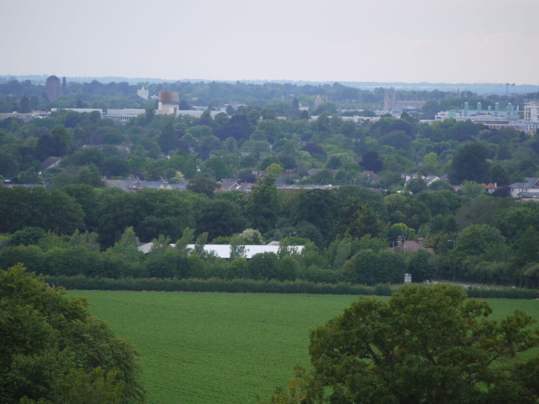
We now approach the city of Cambridge, and many landmarks can be identified. The Direction Finder can only accommodate a few so the first is the Biomedical Campus, generally known as the Addenbrooke’s Hospital site. Until the 1960’s the site was unoccupied but witness its growth in the intervening 70 years. The site now hosts over 20 medical organisations, including hospitals and research groups.
Further North we can see the Cambridge University Library building designed by Giles Gilbert Scott and completed in 1934. Slightly to the right you can just make out the top of King’s College Chapel, founded by Henry VI in 1441. It is the jewel in Cambridge’s architectural crown! It must be visited. You may also see the spires of the Catholic Church on Hills Road, All Saints’ Church in Jesus Lane and St Luke’s church in Victoria Road. The City, University and Colleges of Cambridge contain many interesting and historically important places to explore.
Next on our Direction Finder, and much further away we might see another radio mast at Over which has a functioning windmill hiding behind it. Over is one of the villages that bordered the Fens, prior to their drainage. Some of the buildings in Over reflect the influence of Dutch engineers who were draining the nearby Fens. Just North of Over and sixteen miles away are two water towers at Bluntisham and almost due North you might see another one at Haddenham. Bluntisham and Haddenham are two of the many Fen ‘Islands’ that stood above the water prior to the drainage of the Fens.
To the North, the Fenlands represent one of the most remarkable areas in our region. The reclamation of the marshy areas began in Roman times, but it was not until the 17th and 18th centuries that major reclamation works were undertaken. It is an interesting story to follow up.
Nearer home there is a tall chimney belonging to the Victorian Cambridge sewage pumping station, now home to the Cambridge Museum of Technology. The museum helps people to learn about their industrial heritage by celebrating the achievements of local industries and the people who worked in them.
Our Neighbours
One of our neighbours is the Gog Magog Golf Club which boasts two 18-hole courses and both courses are designated a Site of Special Scientific Interest (SSSI) on account of its ecological significance. The chalkland flora includes some rare and unusual plants. It is only open to Golf Club Members.
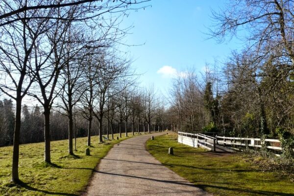
Our final place marked on the Direction Finder is our neighbour, Wandlebury Country Park, championing many of the same principles as our own Magog Trust and providing many walks. Wandlebury Ring is an ancient fort which lies within Stapleford parish boundary, originally built in the 3rd century BC, but rebuilt with a double bank in the 1st century AD.
Wandlebury Country Park